All official European Union website addresses are in the europa.eu domain.
See all EU institutions and bodies
An official website of the European Union | How do you know?
Environmental information systems
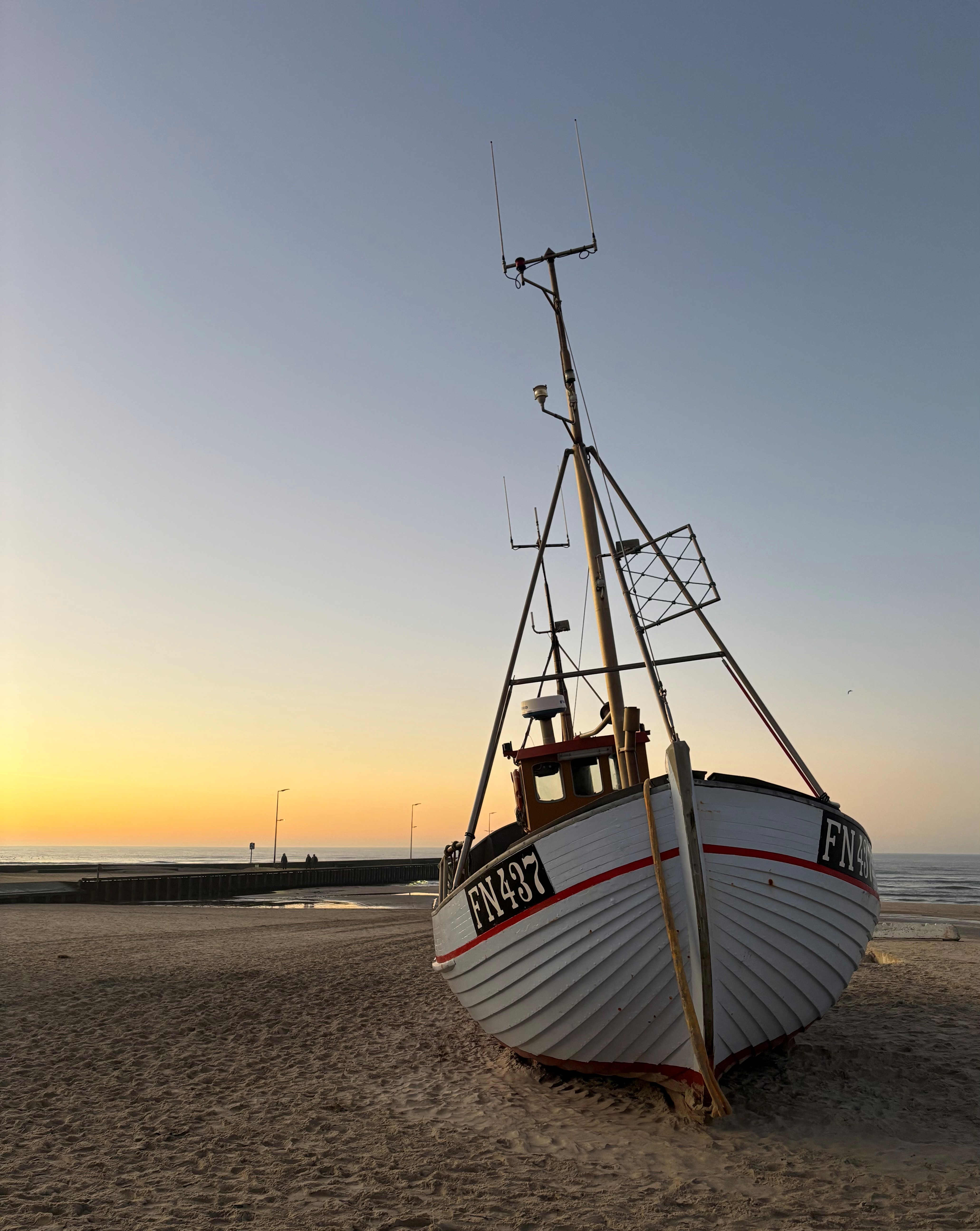
Small-scale fisheries (SSF) make up over 80% of the EU fishing fleet and play a vital role in coastal livelihoods, food systems and cultural heritage. Yet their spatial activity and interactions with marine ecosystems and other maritime uses remain poorly captured in European marine data systems. This limits effective marine reporting and assessments, spatial planning and ecosystem-based management.
The EEA-funded MAP-SSF project addresses this gap by developing a harmonised, validated, scalable methodology for mapping SSF activity and fishing pressure across Europe’s seas. Its multi-method approach, combining participatory mapping, high-frequency GPS/AIS tracking, Sentinel-2 remote sensing and neural-network modelling, delivers spatially explicit datasets suitable for integration into marine assessments.
Why this matters
Improved SSF data are critically needed in several policy process, including:
- Ocean Pact – SSF are recognised as a major information gap
- EU Control Regulation - mandatory tracking for all vessels by 2028
- Marine Strategy Framework Directive (MSFD) - high-resolution pressure layers needed
- Maritime Spatial Planning (MSP) Directive - SSF visibility reduces inequity, conflict and non-compliance
- Common Fisheries Policy (CFP) – spatial data support EBFM
- Nature Restoration Regulation (NRR) – understanding gear-habitat-biodiversity interactions
Natacha Carvalho